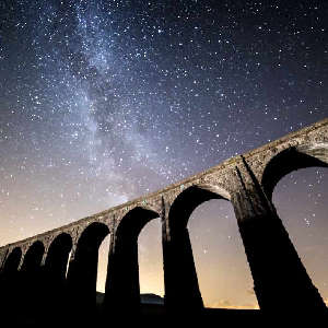

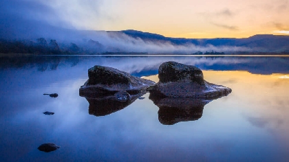
Scientists have presented a wealth of fascinating new information on Semerwater, a popular lake at the foot of fells in Raydaleside near Wensleydale.
Semerwater is designated by Natural England as a Site of Special Scientific Interest, covering 101 hectares. It has historically been an inspiration for poets and artists such as JMW Turner, but its opaque brown waters have long caused concern.
In the past two years, surveys have taken place to try to work out why the water quality is poor, the depths of the lake, and what the deep layer of sediment in the lake reveals about its history. Other surveys have taken place to learn more about the populations of birds, fish, insects and plants living in or around Semerwater.
Six presentations were given at the Bainbridge office of the Yorkshire Dales National Park Authority on Monday 10 February. A total of 52 people were present, including local farmers.
Highlights of the findings included:
- A bathymetric survey found that a part of the lake is 12 metres deep.
- Aquatic plants are less abundant and diverse than 20 years ago.
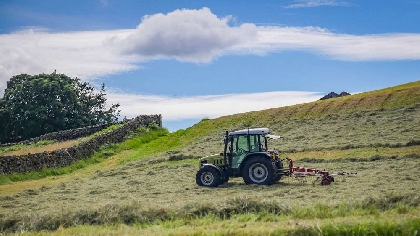
- Much of the grassland around the lake is now marsh or bog and no longer species rich, compared with a 1986 survey.
- However, more species of mayfly, stonefly and caddisfly were found, compared with a 1979 survey.
- A colony of mudwort on the shores of the lake was said to be one the finest examples of this aquatic plant in the UK.
- A depth of three metres of sediment was found to have accumulated on the bedrock; when examined, layers of the sediment reflected the local history of lead mining, as well as periods of nuclear bomb testing and the Chernobyl disaster.
The two-year project to carry out surveys at Semerwater was funded by the Environment Agency, in partnership with the Yorkshire Dales National Park Authority.
Member Champion for Natural Environment at the Authority, Mark Corner, said: “Semerwater should be clear, with an abundance of plants. What the surveys have shown is that the brown water of today is the result of a whole range of factors, over a long period of time, with the erosion of peatland on the surrounding moors playing a significant part. One thing was made clear at the presentation day: it is not the fault of local farms that the water quality is the way it is.
“We are confident that Semerwater can recover, regaining a favourable ecological status. The project has been a great example of how by working in partnership with others, we can collectively help nature to recover in the Dales.”
The speakers at the presentation day were Paul Bradley from PBA Applied Ecology and Oliver Viney from Atlantic Geomatics, who spoke about the geological and landscape history of Semerwater and its catchment and current land uses; Maddy Moyle and John Boyle of the University of Liverpool on interpreting historic lake water phosphorus changes and catchment sources; Ben Goldsmith, freshwater ecologist, on indicators of the current ecological condition of Semerwater, including information on aquatic macrophytes, fish and crayfish; Ian Court of the Yorkshire Dales National Park Authority on the results of a geese survey; and Anne Readshaw of Natural England, who spoke about a condition assessment of the whole SSSI carried out in 2023 and an invertebrates survey of 2024.
The research is being collated, and the National Park Authority is hoping to make it publicly available by this summer
 Last chance to have your say on National Park plan
 Sculpture gift to be placed at entrance of historic market town
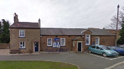 Campaigners write to government minister over school closure
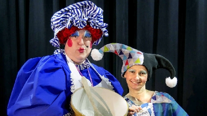 "Throw down your hair" panto in Ingleton
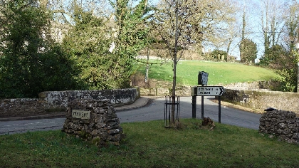 Consultation on “special” Swaledale village
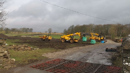 Work starts on 127-home estate in Leyburn
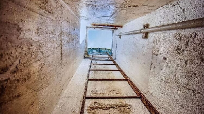 Dales nuclear bunker set to become tourist attraction
 Potential sites for thousands of new homes submitted to North Yorkshire Council
Comments
Add a comment