
More than 1,500 new sites of historical importance have been recorded in the Westmorland Dales, following completion of the first phase of an extensive archaeology mapping programme.
Among them are several prehistoric settlements, raising questions about when and why they were abandoned.
A total of 136 square kilometres were surveyed, taking in the northern portion of the Howgill Fells and part of the upper Eden valley, which became part of the Yorkshire Dales National Park in 2016.
Beginning in summer 2022, contractors Archaeological Research Services Ltd reviewed existing aerial photographs and existing ‘Light Detection And Ranging’ data (LiDAR). They also flew a drone with LiDAR capability in a seven square kilometre area between Great and Little Asby to get a sample of more detailed, low level coverage. The fresh LiDAR data led to the identification of dozens of new sites of archaeological interest, including medieval pillow mounds that are indicative of rabbit farming.
Libby Bateman, Member Champion for Cultural Heritage at the Yorkshire Dales National Park Authority, said: “The Westmorland Dales in keeping with the National Park as a whole has kept so much of its character. The evidence of thousands of years of human activity is often right there to read in the landscape.
“The advent of LiDAR means that we can now find what’s hidden to the naked eye, digitally peeling back surface vegetation to look below. This project has discovered the likes of a whole bronze age field system on high ground at Cowdale Slack west of Little Asby. It could have been a change in the climate several thousand years ago that led people to abandon such farming practices.
“There were also discoveries of prehistoric burial cairns and enclosures, as well as later features such as hut circles, sunken trackways and field boundaries.”
The Westmorland Dales mapping project was largely funded by Historic England, a public body, with the remainder provided by the Yorkshire Dales National Park Authority. The intention is to bring records for the Westmorland part of the National Park to the same standard as that for the rest of the National Park, so that heritage assets can be conserved effectively. The project has so far significantly enhanced the Historic Environment Record for the National Park area, lifting the total number of records by 3% to around 45,000 entries.
Ms Bateman added: “Maintaining the Historic Environment Record is perhaps one of the National Park Authority’s lesser known services. We welcome enquiries from people looking to access the Historic Environment Record, as part of our work to promote understanding of the special qualities of the National Park.”
Work is now beginning on phase 2 of this study which will cover 145km2 of the north-western area of the Westmorland Dales.


 Donation helps pollution group with monitoring river
 Council chiefs agree record £2.5m investment in car parks
 Summer bus services in the Dales extended
 Dales pub landlady loses enforcement notice appeal
 Ex-National Park head and son pay tribute to Pennine Way in song
 A PRESSING engagement at Gallery on the Green
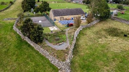 Dales pavilion featured in TV advert becomes thriving hub
 Planners refuse Richmond housing development
Comments
Add a comment